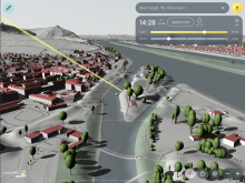
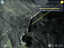
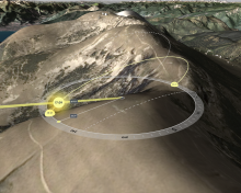
Shadowmap visualizes light and shadow in an interactive 3D web-based maps app, considering buildings and terrain. For any moment in time, anywhere on Earth. Shadowmap can help you answer ecological questions relating to sunlight.
Full description
Shadowmap visualizes light and shadow in an interactive 3D web-based maps app, considering buildings and terrain. For any moment in time, anywhere on Earth.
Shadowmap can help you answer ecological questions relating to sunlight – lighting conditions of habitats, solar irradiance of terrain and water bodies and evaluating the impact of new buildings or reforestation.
Shadowmap is available as a Light and Pro subscription with a free Pro trial.
Shadowmap Studio is our solution that adds the integration of custom 3D models to the app and more. These projects can then be easily shared and seamlessly embedded into other apps and websites.
We offer solutions for many use cases:
- architecture, real estate, urban planning
- solar energy
- photography, drone planning
- tourism
- ecology, agriculture
- health
and more
Value proposition
Shadowmap offers intuitive tools to understand sunlight conditions and solar irradiance. Our global 3D map is easy to use as an app or in browser.
Shadowmap can be used for planning remotely before visiting a project area, it can be used on-site for quick insights and it can serve as a presentation tool for stakeholders, either live or embedded in another app or project website. These features are offered in different packages.
Sunlight is a key factor in ecological questions: Sun exposure and total insolation across the year determine what plant species are viable, water ecology is strongly influenced by the Sun etc.
We provide the tools that help you find the best solutions. Let's connect and talk about your specific use case and ideas.
Payment conditions
We offer Shadowmap Light and Pro in self-service.
For Shadowmap Studio and integrations please reach out to us, so we can find the best solution for you.
For Shadowmap Studio and integrations please reach out to us, so we can find the best solution for you.
Product pricing
Rate: yearly
- Pricing upon request
- Pricing depending on specific customer demands
